[Kyle]We got a decent night’s rest at Ripapa Island and then headed across the harbor to Te Ana marina in Lyttelton. As it was Sunday there was nobody there to meet us, so we planned to take the opportunity for an easy evening. While doing a reconnaissance walk around the docks, we came across 'Sang Vind'. The boat had San Francisco marked on the stern as their hailing port, but we quickly learned it was owned by a Dutch/English couple and their two boys that we had met while we were in Napier a couple of months before. They offered to lend us their spare gate key, so now we were free to escape the marina and have a look around the town.

Lyttelton seems like a really nice town; it is small and walkable, and has lots of great cafes and pubs to chose from. Sunday was not a busy night for them, but we were able to find a fish & chip shop where we could get an easy dinner before everything shut for the night.


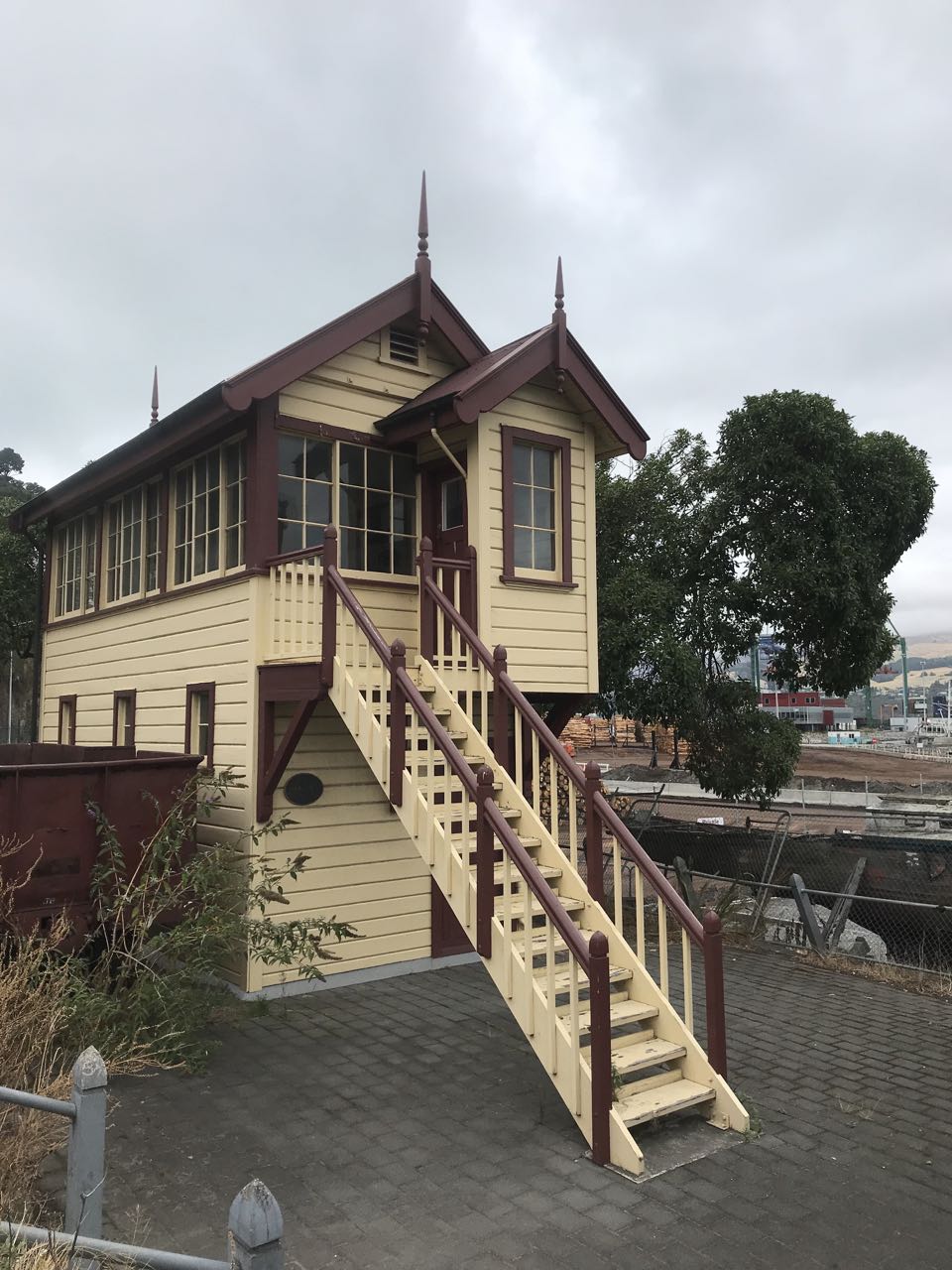
Littelton - Port Town to Christchurch
In the morning, we boarded a bus for the trip through the tunnel that runs beneath Mt Cavendish, separating the port of Lyttelton from the city of Christchurch. On the other side, we started the hike up the Bridle Path. The Bridle Path was the only way to get between the two communities until the tunnel opened in 1964. It doesn’t waste time with too many switchbacks, so it is a ridiculously steep climb that many people had to scale daily to get to school or work.


Hike over Mt Cavendish - If you don't fancy the hike you can take the gondola
We thought we would be satisfied with getting to the top to see the view, but once we were there, we couldn’t help hiking a bunch of the other trails until we were satisfied we had seen every one in the area.
We tried a couple of different routes down, only to find them closed by earthquake damage, so we ended up backtracking to the top and descending via the bridle trail after all.
Oh, we were so tired by then, but we wanted to get to “the ball” on the other side of town, so I worked out a circuitous route that skirted the outer edge to the other side. It involved a little more up and down, but it got us to some less than travelled parts of town, all with great hilltop views of the harbor below.
”The ball” refers to the Timeball. Lyttelton has one of the last operational time balls left in the world. It was damaged by the 2011 quake, but has since been rebuilt and is now functional again. Back before the age of digital watches and good timekeeping, the local astronomical observatory would determine Solar Noon and then telegraph the information to the ball keeper, who would make any necessary corrections to the ball’s pendulum mechanism. At 1300 every day, the ball would drop, Times Square style, allowing the ships in the harbor to calibrate their chronometers. Accurate time is critical in determining longitude from sextant readings, so the Time Ball was a critical link in the chain of safety at sea.


Littelton Timeball (2018 rebuilt tower - originally build from was in 1876) retains the original timeball and mechanism
We were feeling pretty limpy by the time we got back to the boat. We were feeling like giving up and collapsing into two lazy lumps, but we had previously invited Sang Vind over for dinner.
They were great company and we quickly found our second wind as we bonded over all of the quirks of being cruisers on the other side of the world. We were kind of lucky that the kids needed to be in school the next morning, because that kept all of the adults from staying up until midnight before we had even realized it. As it was, I barely made it through doing the dishes before I was out cold.
We were up as early as we could bear for our first full day in Christchurch. The terrible shootings there had just happened four days earlier. We had been out of cell/VHF range and had first heard about it a couple of days before from our friend Kate via satellite email. We decided that whatever our plans were going to be for our visit to the city, we would have to begin by paying our respects at the Al Noor Mosque.
We found the address and walked from the bus terminal in the general direction through the park. Our route took us past the Police Station, which had guards armed with machine guns out front. Maryanne broke away from the sidewalk and took the steps up to the officer there. They had also been through an awful few days and she wanted to say a few words of support and thanks to him.
Then this guy, this scary-looking guy with a big machine gun was soooo nice! There was no “Get Back! Stay Back!” Instead, he asked us about ourselves and then started a conversation about fishing along the coast. He then thanked us for our sympathies and wished us a good trip.
About halfway through the park, we were heading in the general direction of the mosque when we started seeing groups of somber-looking people in Muslim dress. As we approached a barrier, we were approached by a reporter from CNN, who was very empathetic and not the least bit pushy. She explained that the first funerals were taking place later and had mistaken us for volunteers. We didn’t know this and didn’t feel nearly appropriately dressed to even approach such an occasion. We made our apologies to the men at the gate and carried on at a distance.


A taste of the moving condolences laid after the terrible events in Christchurch
Apart from Muslims lost in their own thoughts and comforting each other, the park was increasingly filled with people carrying cards and flowers. When we got to the mosque, we found memorials on almost every tree and lamppost. There were lots of touching messages written by people who knew the victims personally. There were also lots of general messages from individuals, schools, churches and businesses. A theme we kept seeing in so many of them was regret for not having properly protected their new immigrant brothers and sisters. Everyone we met expressed shock that something like this could happen to people they kept calling “one of us”.
We couldn’t get too close to the mosque because it was still an active crime scene. At the tape strung as a boundary, there were many police standing guard. They have had a tough week. We were standing at a tree reading some of the memorials when one of the women nearby started to break down, just a little. The cop behind the tape stopped what he was doing and came over to ask her if she was okay. She wasn’t, of course, none of us were, but his humanity nearly caused me to lose it myself.


Christchurch Botanic Gardens gave us some time to decompress
It took us a while after that to feel like we wanted to be tourists again. We had a long, slow walk back to the central business district through the Botanic Gardens. It was a good transition to the usual noises and bustle of a city.
Christchurch is a very nice city. Since it suffered so much devastating damage in the 2011 earthquake, much of the city has been rebuilt or is still in the process of being. Even though it was eight years ago, it still feels in many places like it only happened much more recently. Lyttelton, where the quake was centered, still has whole blocks of buildings being held up by temporary shoring until they get their turn for either rebuild or demolition.


We headed to the Canterbury Museum (Canterbury is the district in which the city is located) and had a stroll through way more stuff than we could hope to see in the time that we had. We were kicked out at closing time, just before we got to their exhibit on Antarctica, which we really wanted to see, but it was behind rooms and rooms of scientific artifacts and Asian art. Maybe next time…
Our first night in Lyttelton, when we had the fish & chips, we popped into a place called Wunderbar. It had a lovely atmosphere and a great view of the harbor. We considered eating there, but at that time, they told us their kitchen had closed. I decided I really wanted to try to eat there sometime before we left town.
When we got off of the bus from Christchurch, we headed over and found a sign saying closed on Mondays. Doh! We ended up having a meal at the local Indian restaurant instead. When the guy asked me how spicy I wanted my dish, I tried a trick my friend Geoffrey told me about: I looked the guy in the eye and said, “Tell the cook I think he doesn’t know how to make hot food.” That did the trick! I got it just the way I like it. Maryanne authorized the maneuver, but was not so pleased when it came time to swap plates halfway through. It was with great pleasure that I admitted that I had been wrong to the cook and conceded that he did know what he was doing. He seemed simultaneously happy and disappointed.
For our next day in Christchurch, we headed over to the Cardboard Cathedral. The main cathedral in the center of the city had been very badly damaged in the quake. Various factions then lobbied to either tear the old one down and build anew or restore it. This led to lawsuits that are going on to this day. This led to the decision to build an interim cathedral out of shipping containers, cardboard tubes and other quick and available materials. It actually looks rather nice, hardly slapdash at all, and makes you wonder why they don’t just build them all that way. This temporary cathedral is becoming somewhat of a landmark itself and it looks like there’s a pretty good chance it will be preserved if the old one ever reopens.


The transitional 'cardboard' Cathedral built as an interim Anglican cathedral after the earthquakes destroyed the main one
There is still great dispute regarding if to demolish or rebuild the original cathedral


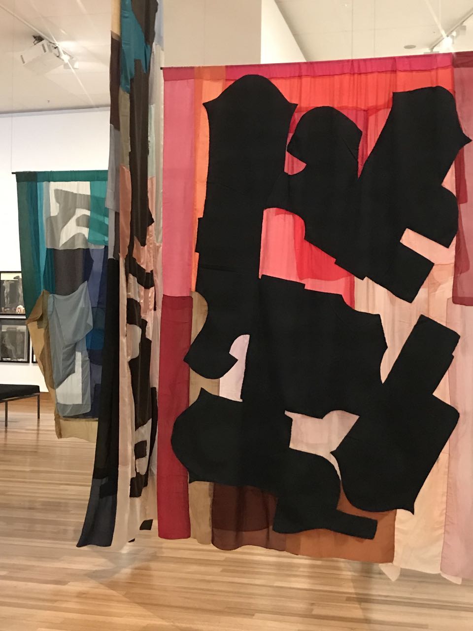
The Christchurch Art Gallery - Te Puna o Waiwhetu
We took the long way back to the Botanic Gardens via the Avon River, which has lots of great spaces filled with public art. I wanted to stop and enjoy a few of them myself, just taking it in and watching the world go by, but I couldn’t. The New Zealand Nanny State has apparently made it mandatory for even people sitting in the park to wear high visibility gear. I guess it’s so they don’t get bumped into by pedestrians. I was only wearing a regular shirt, so I had to keep walkin’.


”No, you e-diot,” Maryanne said, “Those are construction workers enjoying their lunch.”
Oh. There sure are a lot of ‘em.
We then got our own lunch in the park (at a restaurant, with chairs and stuff) and then headed back to the Canterbury Museum to try to see the Antarctica exhibit.
It was pretty amazing. A lot of Antarctic expeditions set off from Lyttelton and they had lots of interesting stuff. They had the last note that Robert Falcon Scott wrote on his ill-fated Terra Nova expedition after everyone else in his party had perished returning from the pole where they learned that they had been beaten by Roald Amundsen’s expedition.
It was forty-six years until Dr. Vivian Fuchs and Sir Edmund Hillary (yup, the Mt. Everest guy) completed the next successful crossing of the continent via the South Pole on Fuch’s 1955-1958 Commonwealth Trans-Antarctic Expedition. Each led a team that started at opposite ends, met at the pole and continued to the other side.
We were happily browsing through some of their artifacts when we noticed a TV showing some footage of Hillary’s team being dropped off by icebreaker. We thought it would be on a five-minute loop, but it turned out to be a long documentary about the whole expedition.
We had both heard about it offhand, but we didn’t really have an appreciation for all that was involved. Half an hour into the film we noticed that the room was standing-room-only full of people who couldn’t pull themselves away.
Firstly, Antarctica is actually quite big. It’s twice the size of Australia. Also, most of it is at high altitude. The surface of the central ice cap is at around 10,000 feet (3,000m). Just to get to the ice cap from the sea, each team had to climb two mountain ranges crisscrossed with crevasses. They then overwintered and resumed the thousand-mile trip across the ice the following year.
They were well equipped and even had a Dehavilland Beaver on skis (airplane) with which they could get supplies from the ship – at least until they were out of the plane’s range. Since they couldn’t bring it inside for the winter, they dug a big trench and buried it in the snow until springtime. They had several harrowing scenes when one of their Sno-cats teetered on its skid-tips over a yawning crevasse, held up mostly by the ropes connecting it to the one ahead and the one behind. They would shovel a bunch of snow into the crevasse to make a “bridge”. Then they would gently slide a ladder between the snow and the skid for traction. Then came the really scary part: Some guy had to GET IN the Sno-cat, facing upwards at a forty-five degree angle over a 100m drop, and drive the thing back over the lip while the others helped pull. We were sitting right next to one of those very Sno-cats. In fact, it even had a tray of sand under the engine to keep oil drips off of the museum floor. Incredible!
Just for comparison, imagine if the south pole was actually in, say, Denver, and two teams meet who had crossed previously unexplored snow and ice since they left San Francisco and Washington, D.C., respectively. If you prefer a European example, let’s put the South Pole in Amsterdam and each end of the expedition at the northern tip of Finland and Madrid. In all of this distance, there are no roads, no signs, no filling stations, no nuttin’!
It was not until 1981 that anyone managed to successfully cross the continent again.
The museum had a whole section dedicated to the dogs used in Antarctic exploration until they were banned in the 1960s over concerns of introducing disease to the marine mammal population. One short film that amused us was about training them for rescue. They showed Hillary being pulled in a cart on Quail Island in Lyttelton Harbor and also dogs parachuting into the snow. A guy on the plane would just grab their harness and chuck them outside. They landed really hard, but on the way down and after bouncing back up from their impact, they could clearly be seen wagging their tails like crazy. They seemed to be actually having fun!


The main library was an unexpected gem too in Christchurch
Back outside, the crowds of mourners at the main memorial wall had swelled considerably. We took another moment to join them and then headed back to Lyttelton.
Once again, we arrived at Wunderbar and found it closed! A woman inside was sweeping up and when we asked her about it, she cleared up the confusion. The place we had been going to was a café, inexplicably next to the Wunderbar sign. The café appeared to have no sign. The sign for Wunderbar turns out to be for a staircase that leads between buildings to a parking lot behind. After wandering around the lot for a while, we found the real entrance.
Wunderbar turned out not to be the place with the cool vibe that we had found when we arrived (that was actually a coffee shop), but rather an empty dive bar with a very different quirky atmosphere. We ordered something because we had gone to so much trouble to get there, but it wasn’t what we were really hoping for. We noticed as we were leaving that the bar two doors down was packed with locals. Doh! Maybe on our next visit.