
This part of Nuku Hiva has an interesting history. Since the island has such rugged terrain, each region is pretty well cut off from its neighbors. In the days before European contact, these discrete regions were home to different tribes that were often at war with one another. The Tai Pi valley, named after the main river, Tai Pi, was home to the Typee, who were generally regarded as the most fearsome and cannibalistic on the island. Such was their reputation that adjacent tribes would seldom even approach their territory. Later, in the Age of Exploration, ships that had first landed in other harbors learned of this fearsome reputation and went to great lengths to avoid Tai Pi. Word spread, and it became a place that almost no ships ever called. In August 1814, Thomas Staines took Nuku Hiva on behalf of the British Crown. He is said to have done this with the consent of the local tribes, with the notable exception of the Typees, who, presumably, everyone was afraid to ask.
Herman Melville's book, "Typee: A Peep at Polynesian Life" was based on his experience living for four months with the Typee in 1842 after deserting his whaling ship and its brutal captain.
Now, Taipivai is a sleepy little village centered around the Te A'itua Tohua ceremonial site.


Scenes from Taipivai
As it was a weekend and we no longer had the need to slog up the hill to the viewpoint for the Kueenui waterfall, we decided instead to visit a roulotte (food truck) perched on the high ridge to the west of the anchorage as a goal for a healthy climb.
Their menu is not exactly high on plant-based, healthy items. I ordered a Croque Monsieur that was basically two sticks of salted butter held together by a matrix of cheese and crusty bread. It was sooooo good! My left arm is going numb. The view from our table must surely be the best of any eating establishment on the island.


The Belle Vue food truck may not have the healthiest of dining options - but what a view! Also a bonus mural showing the legend of the two brothers who originally populated Nuka Hiva, and in particular the brother Taipinuiakavu (who settled in Taipivai)
Afterwards, our plan had been to descend back home, after possibly pottering around in a shop our two along the way. Suitably rejuvenated by our nine-thousand-calorie sandwich, we instead decided to continue climbing up the hill to a second viewpoint about the same distance farther up.
Sure enough, with absolutely nothing on the road between the roulotte and distant Taiohae, the second car that overtook us stopped, backed up, and asked if we wanted a ride. I wanted to say we had missed our airport shuttle, but then Maryanne jumped in and told them we were just headed to the next viewpoint a mile or so ahead.
Like at Hatihe'u, our new acquaintances, Tracy and Cindy, were cruisers with a boat in Taiohae who had rented a car for the day. They seemed to be on a more ambitious schedule than we were and the car seemed more efficient way to see Nuku Hiva for them than sailing around the island.
When we reached the viewpoint, we found it so overgrown that, instead of a look at Taipivai from a high perch, all we could see was the side of a thick stand of trees facing the road. Tracy and Cindy offered to take us somewhere else if we wanted, but we declined and bid them farewell. The leisurely downhill stroll back to where we landed the kayak seemed like a nice way to spend the afternoon.
Like it had at Hatihe'u, it rained in torrents for the next two days. The intensity was unusual, even for the Marquesas, and the local message boards were full of reports of mudslides, downed trees, power outages and river crossings too deep to ford.
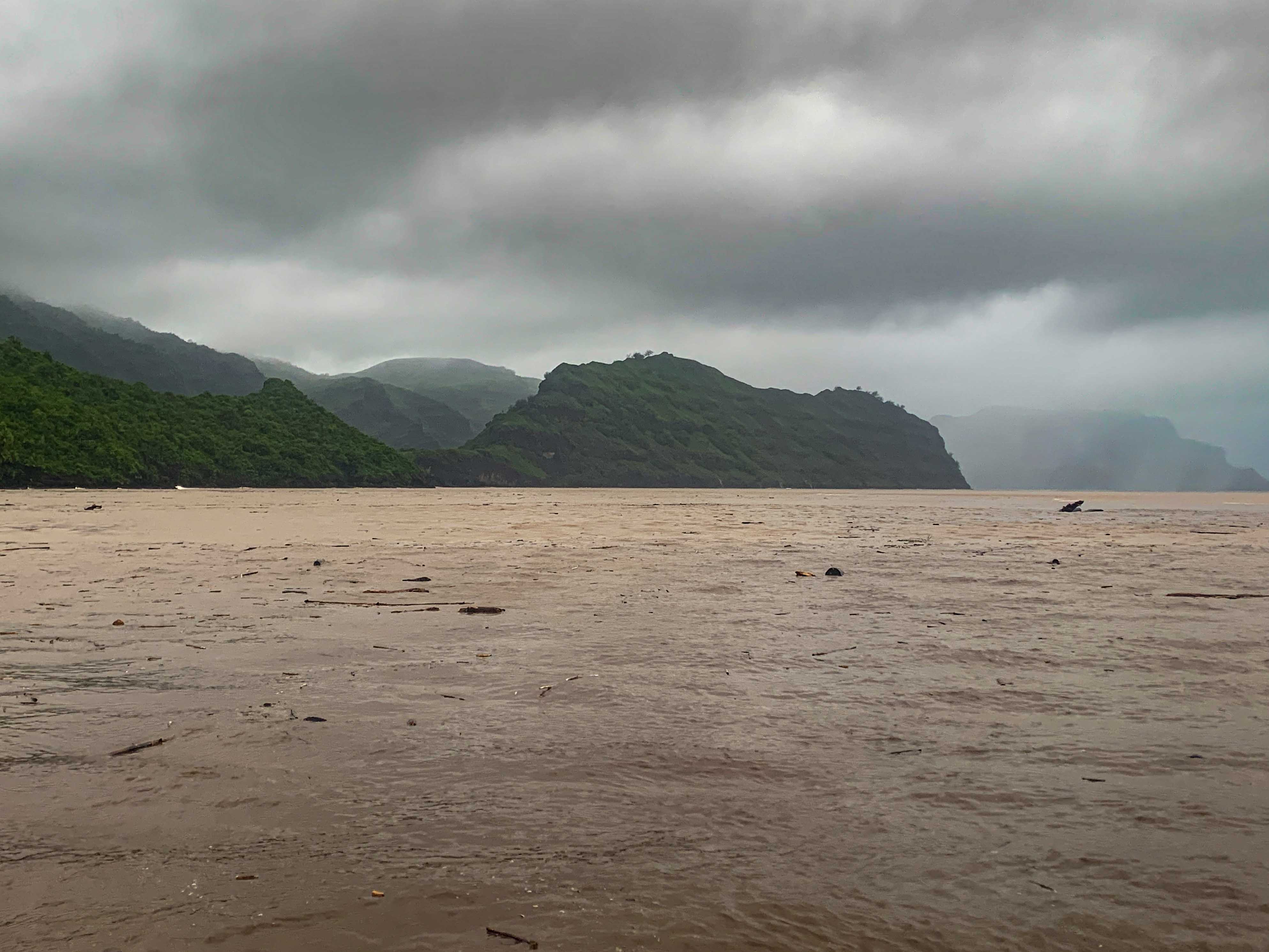
The Tai Pi is the biggest river on Nuku Hiva. It didn't take long before runoff turned the blue water of the anchorage into shades of olive green, then dirty bathwater, then finally chocolate milk. A little while later, we started to hear thumps as coconuts and small branches bumped their way by us. When we finally saw a tree bigger than we are coming out of the river mouth towards us, we decided it was clearly time to relocate.


Heaving flooding caused chaos all over the island (scenes shared on the local facebook groups), and pushed all sorts of debris out into the bay
We got the engines started before the tree arrived and then picked a weaving course through the debris to the next indentation in the bay at Ho'oumi. The watershed above this village is small and thus had almost no runoff and the point protecting the bay diverted Tai Pi's debris right on by.
Maryanne and I had earlier been planning on walking from Taipivai to Ho'oumi. There was now only one decent weather day in the immediate forecast and we needed to use it to get back to Taipivai on Begonia. We got to anchor next to Ho'oumi, but we never got to see it.
The reason we needed to get back to Taipivai is that their water source, high up the Tai Pi, is the purest potable water on the island. It would likely be a couple more months before we can get potable water and after coming all the way from the Galápagos, we weren't going to be able to last that long without refilling.
This time, we anchored Begonia closer to the beach on the far side of the river outlet, where we were out of the flow of any debris. At this corner of the beach, one of the local artisans, who makes bamboo wall panels, has kindly set up a hose for cruisers that is long enough to reach the water, thus eliminating the need to lug jugs back and forth.
That's the good news. The bad news is that his particular part of the beach is exposed to the swell. That same swell eventually crushed the loading ramp that was previously at that location into a pile of slippery, ankle-breaking rubble. To get the drinking water, you have to jump onto an unknown surface at an unknown depth, stumble ashore over the boulders to set an anchor, so the dinghy doesn't float away, then stumble back with the end of the hose to fill the jugs. Then you have to hold the dinghy against the swell with one hand, fight with your legs to stay upright on the rocks, and fill the series of jugs with the other hand. Once they're full, the whole process with the anchor and the hose has to be repeated in reverse. Then you have to jump in the dinghy and get out of there before the swell puts you onto the rocks. The whole affair is equal parts exhausting and terrifying.
After figuring out I would need to do five round trips, I rowed Maryanne with me on the first so she would have time to walk to the village and make a pass through the shops, while I shuttle back and forth, decanting water into Begonia's tanks.
She was waiting for me at my third landing. We managed to get her and her haul into the dinghy safely, but just. There was no more room for water jugs.
After the fifth fill, I was dismayed to realize I would need to make a sixth trip to top up our supply. With an average of about eighty minutes per go, I got back to Begonia after dark. I was exhausted, but the dinghy still needed hoisting and with the next deluge imminent, I was sure I would be even less happy doing it later. Maryanne had a big dinner waiting for me on the table as soon as I dried off and came inside.

At his workshop on the beach, Mahinatea (a mastercraftsman in bamboo) shows his talents (see the traditional woven bamboo panels behind him), and generously welcomes cruising boats (offering food from his trees, and even use of a washing machine!)


Kyle filled water jugs, while Maryanne splashed through the muddy trails for one last pass through the village to get to the tiny store "just in case" any fresh produce had arrived (it hadn't)
Taipivai Anchorage location >> On google maps
Ho'oumi Anchorage location >> On google maps
No comments:
Post a Comment