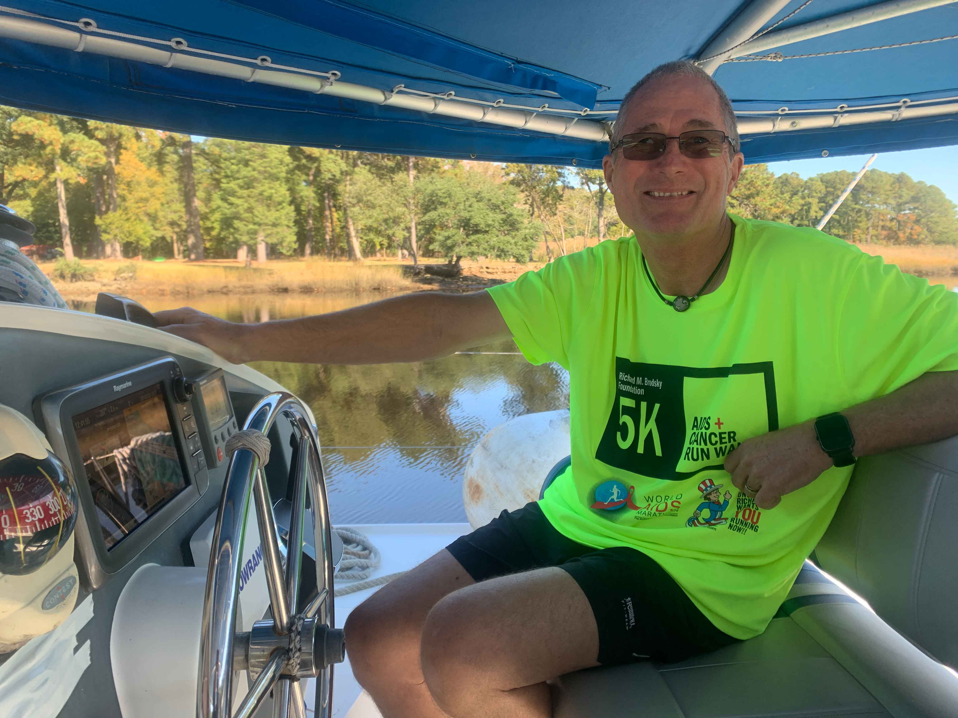
[Kyle]The time had come again for us to untie our lines from the dock at Waterside Marina and head south. It's just me and Maryanne again.

Once again, we motored through that dreadfully ugly section of the Elizabeth River between Norfolk and the turnoff to Deep Creek (a different one) and the entrance to the Dismal Swamp Canal.


Fall/Autumn colors showing as we transit the first half of the Dismal Swamp Canal
Personally, I like the name. It keeps away the crowds. Our transit this time is our fifth. This time, it was especially lovely. The winds were calm, the temperature was perfect and we were harassed by not a single bug. Best of all, the Autumn colors were right at their peak of vibrancy.
Usually, when we go through the Dismal Swamp Canal, Maryanne begs me to stop at the Visitor's Center and Museum along the way.
"No!" I bark in reply, "No time!"
This is because of Begonia's unfortunate characteristic of being slower, with her small engines, than most sailboats are under power. If we go through the first locking in the morning, we barely have enough time to make it through to the lock on the other side before the canal closes at night.
This time, we decided to do it differently. We went through the Deep Creek Lock just after lunchtime, and were able to make it to the Visitor's Center an hour before sunset. That gave me just enough light to make a quick climb up the mast to make a minor repair up there. The job had needed doing for a couple of weeks, but we had been in rolly anchorages. I knew the canal Visitor's Center dock would be second in stability only to Begonia being hauled out and resting on a concrete pad.
We stayed a whole calendar day to visit the museum and walk miles and miles of the park's trails. The following morning, we even managed another nice walk before it was time to leave for the 11:00 locking at South Mills Lock. We were enjoying that last walk, searching for shy, early-morning critters, when the peace and quiet was broken with the jarring noise of a loud two-stroke motor. The noise turned out to be an admittedly very friendly kid, wearing ear muffs and clearing fallen leaves off the boardwalk with a leaf blower. HEY NATURE!!! THE HUMANS ARE HERE!!! Honestly, would a push broom not have done the job?


A day (Halloween) in the Middle of the Dismal Swamp with the visitor center and forest walks
After clearing the South Mills Lock, we carried on to Elizabeth City, North Carolina for the night, where we were given the usual warm welcome by the Rose Buddies, a group of local volunteers who welcome boaters to the town. Unfortunately, our Portsmouth marina friend, Ron, who had greeted us so warmly on the way north last year, was not there. We had only learned about a month earlier that he had died just three weeks after that visit. Ron was a good-natured guy who loved to talk and talk about anything and everything. North Carolina is a sadder, quieter place without him.
Ron knew I loves me some Mexican food, and he always made a point of taking us to one or another of Elizabeth City's surprisingly excellent Mexican restaurants whenever we saw him. Realizing this may be my last chance for a while to get a good dose of the southwestern-style Mexican I grew up with, Maryanne and I decided to blow the diet for one night and go nuts at the best one within walking distance of the boat. It was even better than I remembered and included the most elaborate margarita I have ever seen. That thing was a meal in itself and must be good for you because it contains so many servings of different kinds of fruit.


The last locks of the Great Dismal Swamp, and soon we were in Elizabeth City where Kyle found a Mexican restaurant


Aside from a few repeat trips (the amazing museum), we also ambled around the University campus and Kyle was happy to find their flight school
South of Elizabeth City, crossing Albemarle Sound, is one of the few places on the Intracoastal Waterway that has enough elbow room to do some real sailing. On the day we crossed, we were lucky enough to have stronger-than-forecast tailwinds for the leg to the northern end of the Alligator-Pungo Canal, connecting the two rivers of the same names. Even though we had brought our spinnaker up on deck in preparation, we were able to have a fast run the whole way while using only our unrolled Genoa. We used our engines only to leave, arrive, and transit the Alligator River Swing Bridge in the middle.
As we were maneuvering to our anchor spot, I looked back and noticed we were being chased by a little snake. We got the anchor set just before it finally caught up to us. A closer look revealed that it wasn't as small as I had thought, maybe just under a meter long and as big around in some places as my wrist. Also, it was clearly some sort of venomous variety.
"Hey, Maryanne!" I said, "Come look at this."
She arrived just in time to see it haul itself out of the water onto our starboard stern steps. After a little research, Maryanne decided it was probably a cottonmouth. Cottonmouths are pretty dangerous.
It seemed content to stay there, but after a little rest, decided to start climbing toward the cockpit.
Oh, dear. That won't do.
Maryanne handed me our second longest boat hook. (She grabbed the longest one she could see) The idea was that I would kind of hook the snake and gently nudge it back into the water.
It didn't exactly work out that way. Probably for the same reason the snake found us in the first place, it wrapped itself several times around the handle and then started slowly slithering towards me. Begonia's wake was slightly warm with engine cooling water. The warm boat hook was certainly more appealing than the cold river.


A cottonmouth(?) snake wants to stay aboard while we were at anchor in the Alligator River, and we didn't like that plan much
My mother used to say that ALL snakes are dangerous, because they can all give you a heart attack. The sight of a diamond-headed serpent coming towards me while tasting the air with its flicking, forked tongue made me miss her. Poor thing, I thought, it just wants a rest.
Still, this was an actually dangerous snake. Letting it cuddle on my shoulders for warmth is a really bad idea. With the help of gravity, a slippery pole, and being repeatedly stirred into the river as if by an over-enthusiastic Army cook making a big tureen of soup, the snake finally let go of the hook.
Then it made a beeline for the boat again and started investigating every opening near the waterline. After several failed tries, it ended up back on its favorite step again. The sun was coming out by then, which made the area nice and toasty for it. Maryanne and I quickly decided it was a much better deal for us to have it lounging there than to be wondering which of the various drain holes under the bridge deck it has figured out how to breach.
After a few minutes, the snake was gone again, hopefully because it was now sufficiently warmed up to focus on one of the other big three snake favorites: snake food or other attractive snakes. Scaring old ladies to death would probably be classified by them as more of an amusing diversion. No, wait....divertisssssssement! I just had to...


Aside from the unwanted visitor, the Alligator River was a relaxing stop
We were the first boat in the anchorage to set off the next morning into the Alligator-Pungo Canal. That is because, being slow under power, we need to make the most of the daylight.
Sure enough, within half an hour, white specks appeared on the thin slice of horizon behind us. The daily parade of snowbirds had started. In the next few hours, we were passed by every one of them, plus three or four more clusters behind. At the far end, we were able to briefly hold our own for a bit when we got some wind and unfurled some sail. Then I decided to shut down the engine, which was the wind's signal to stop blowing.
Fine. We had enough extra time to be able to go slowly for a while. It was nice to escape the drone of the engine for a few hours while all of the other boats bombed past us.
At least the flat water made for some nice sailing. This part of North Carolina isn't exactly what I would call scenic. It's so flat around here that the entire landscape crowds around a half-degree sliver at the horizon. Even ninety-five percent of that is the height of the part of the grasses and trees that grow above the waterline. I suspect if you removed the vegetation, this whole part of the state could easily be mistaken for a mirage from a boat.
As the sun dipped toward the horizon, we pulled out of the channel on and headed for our local mirage. After a few minutes, it resolved itself into stands of tall, spindly trees, fronted by an impassible zone of reedy marshland. This time stopping at Eastham Creek. There were no buildings in sight and the only sign of humanity was a few minute's glance at the boats passing by on the ICW through a small gap. We even had no phone service, which was more frustrating for Maryanne than it is for me, but we will consider it both as practice for our upcoming ocean leg and a chance to have a real day of unplugged relaxation.


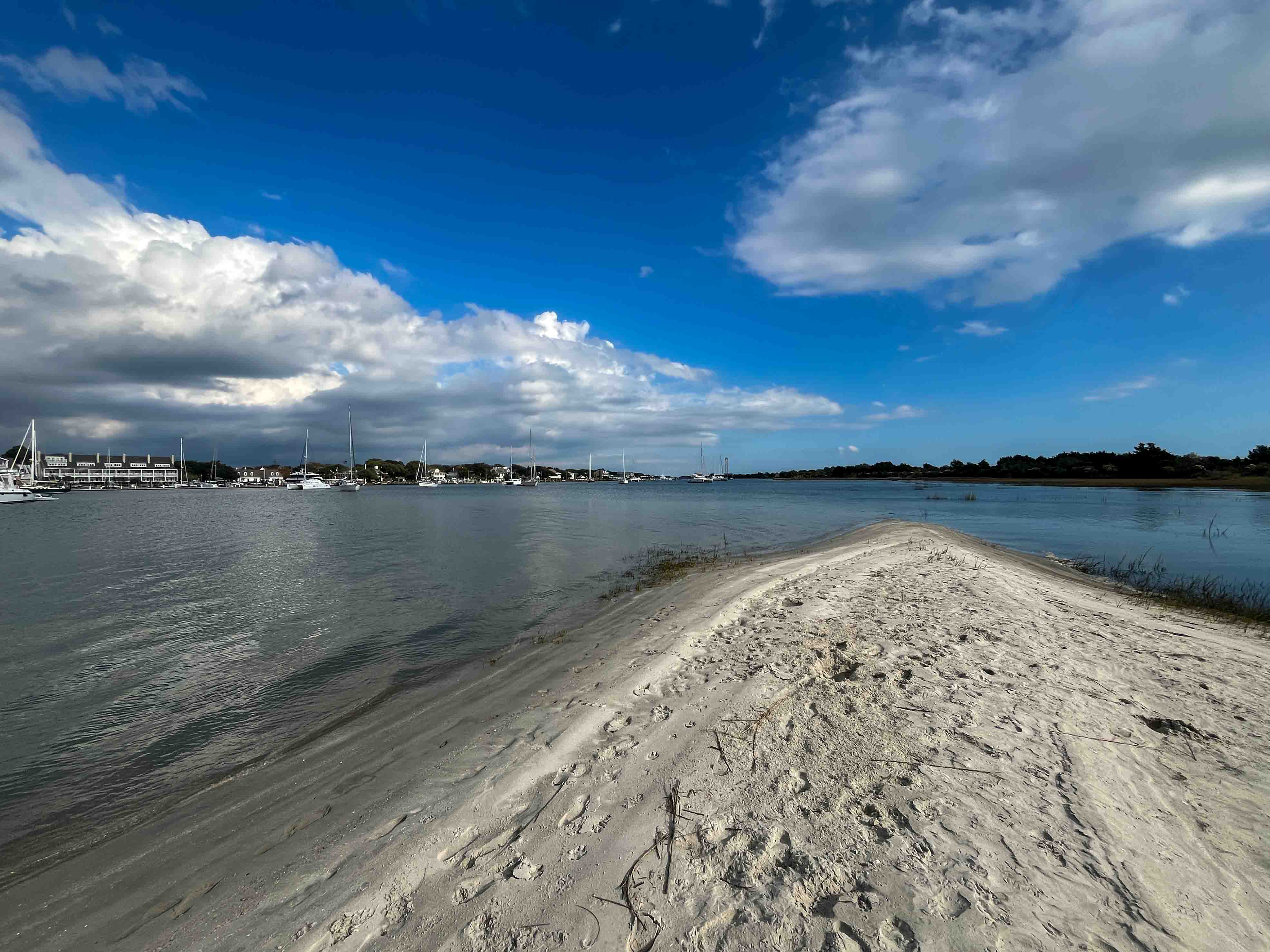
We nudge a little further along the ICW and stop at Eastham Creek Point, off Goose Creek/Pimlaco River
The next leg was more of the same. We mostly motored in light air, but did have occasion in the more open stretches to get some air moving over the sails. It would ordinarily have been a pleasant day on the water as we move our floating home ever closer to the equator.
Today, however, was the day after the U.S election. This cast a horrible pall over the whole day. The normal, friendly waves famously exchanged between boaters in wildly different camps, like sailors and sport fishermen, were replaced by half-assed arm lifts or suspicious glares. There was none of the usual chit-chat between buddy boats on the radio, and even the Coast Guard seemed a little testier than they normally are when chastising people for not using proper radio procedure.
When we finally set anchor in a wide, shallow bay (Cedar Creek) filled with gulls and terns, we were ready to draw all of the shades and pretend we weren't home.
<


Early starts, an easy transit, and sunsets at anchor in Cedar Creek - while we ponder the humanity and sense of the American voters
Anchorage at Tuckahoe Point/Winn Bay, Alligator River >> On google maps
Anchorage at Eastham Creek Point, Off Goose Creek/Pimlaco River >> On google maps
Anchorage at Cedar Creek, Off Adams Creek / Neuse River, NC >> On google maps